Follow the 26 Mile Heritage Trail
The Heritage Trail is a 26-mile, scenic, all-season trail that winds through beautiful landscapes carved out by a once bustling railroad route.
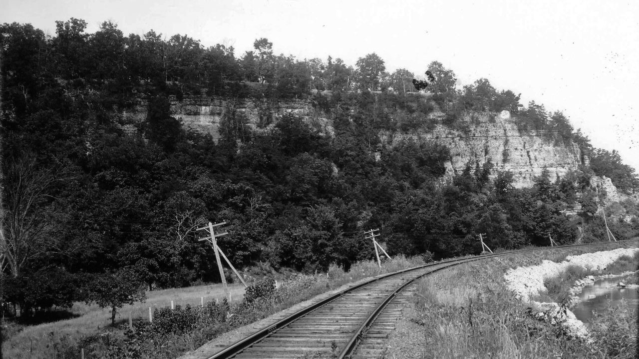
The Chicago & Great Western Railroad once connected Dubuque to a network of cities, including Minneapolis, Chicago, Omaha, & Kansas City.
Where It All Began
When the railroad abandoned the line in the 1980s, work began to acquire the land to create the Heritage Trail. Trail segments opened in 1982, with the main corridor (Dyersville to Dubuque) completed in 1986. Since then, more stretches of trail have been incorporated to connect into portions of downtown Dubuque. Today, thousands of visitors traverse the trail each year. Heritage Trail does require a fee. This fee helps to maintain the 26 miles of trail, and it's over 30 bridges. Day passes can be purchased for $2, and yearly passes are available.
Sageville
NEAR MILE MARKER 1
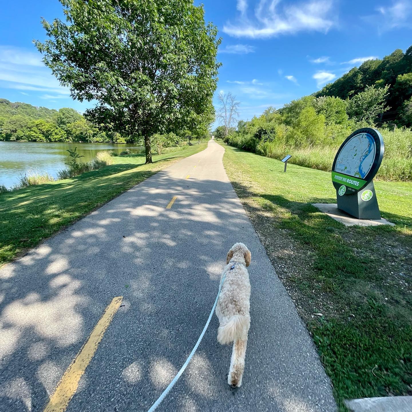
Three miles north of Dubuque is the Sageville access. Here you will find Heritage Campground & Pond. The 9-acre pond supports an active fish population and cold-water trout. With the Highway 52 pedestrian overpass, the Heritage Trail extends into Dubuque. It connects to several city bike trails, leading you to the Mississippi Riverwalk in the Port of Dubuque.
Durango
NEAR MILE MARKER 3
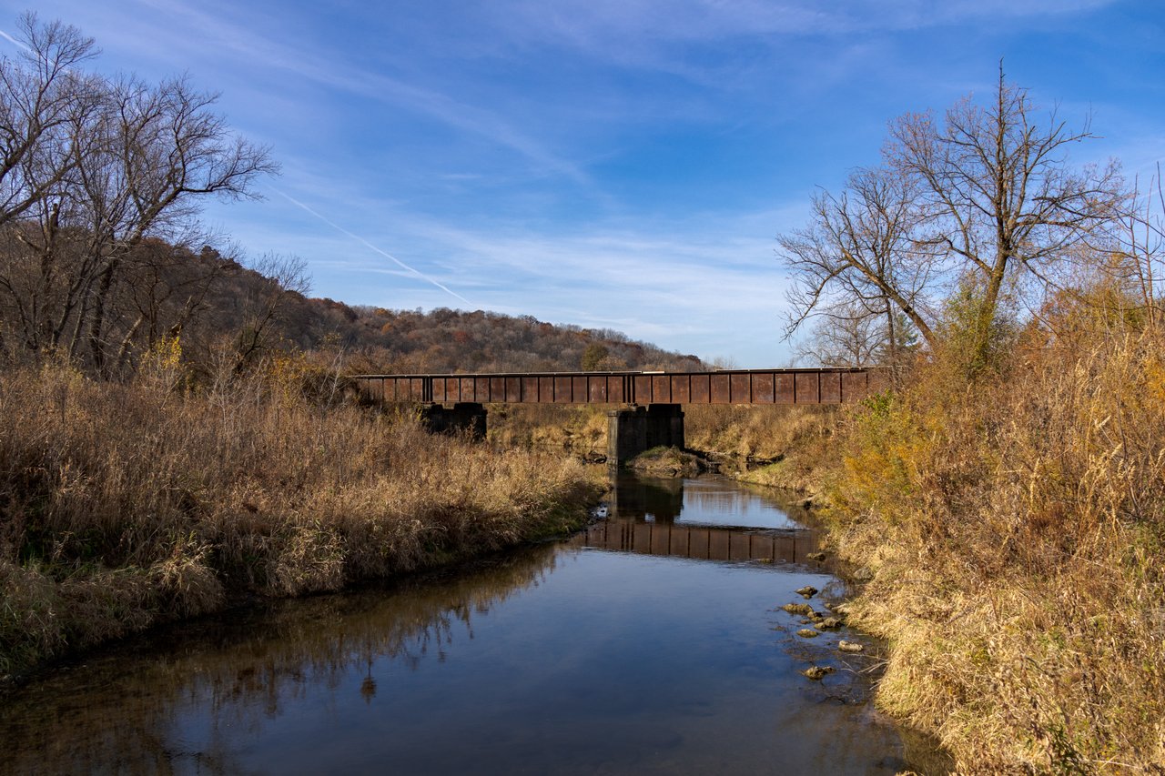
Located off of Highway 52, the Durango access and portion of the trail crosses the Little Maquoketa River. In fact, there is a canoe access nearby if you want to switch gears and hit the water. Bonus - it has a break stop at the Durango Depot, where you can grab a meal before you continue your exploring. Also located here is the 1872 Bridge.

Twin Springs
NEAR MILE MARKER 8
This access point offers a shaded parking area and access to the Little Maquoketa River. Just east of this portion of the trail is Sundown Mountain Resort, where skiing can be found in the winter, and outdoor recreational events, including Jeeps on the Mountain and Bownanza on the Mountain, can be found in summer and fall.
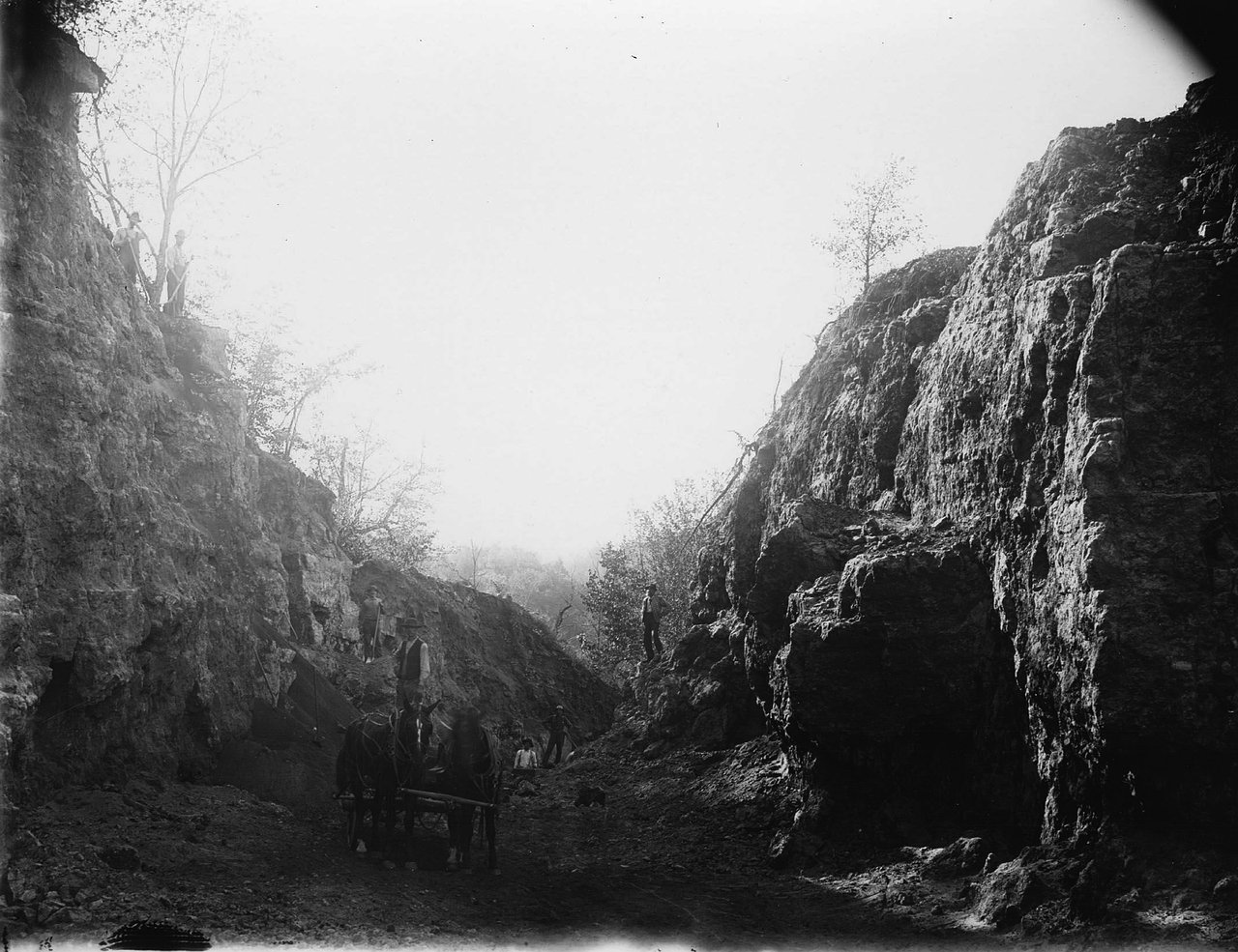
Between Durango to Twin Springs, you'll find 'Split Rock.' Take a selfie at the selfie station and admire the work of crews who carved through the limestone.
Graf
NEAR MILE MARKER 11
In 1886, Graf was established to serve the railroad after a local farmer donated land to the Chicago Great Western Railroad to build a depot. While the railroad no longer bustles through, the trail does, and Graf continues to serve this route as a central location.
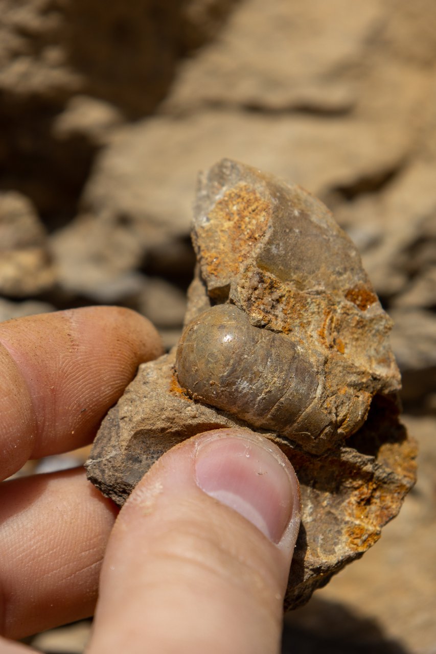
Fossil Site
NEAR MILE MARKER 12
This historic trail takes us back to prehistoric times with a cut of rock that exposes a fossil site. Here you will find limestone that has the tale of prehistoric sea creatures or cephalopods.

Epworth
NEAR MILE MARKER 15
This stretch of the trail overlooks the river valley where you will cross over streams that branch off of the Little Maquoketa River. 1.5 miles south, you can find Locals Bar & Coffee (a Travel Dubuque '10 Best Coffee Shops' location), a community mural, and seminary with a public art gallery.

Farley
NEAR MILE MARKER 19
The Farley access is the high point of the trail and less than a mile from town. Exit at the highway overpass to head into town. Get a bite to eat or visit Farley City Park, featuring a playground & splash pad. Plan to view the Freedom Rock, a painted boulder honoring veterans with one rock placed in each of Iowa's 99 counties.

Dyersville
NEAR MILE MARKER 25
The access at Dyersville is just 4 miles from the iconic Field of Dreams Movie Site where movie magic was made in 1989. While in the area, visit the National Farm Toy Museum, have a catch, and explore the baseball history that can be found at local exhibits and museums.
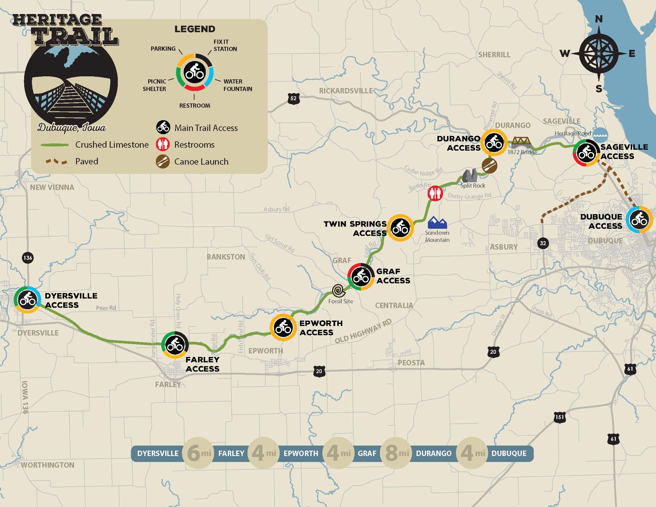
Get your bearings.
Check out this map from the Dubuque County Conservation with mileage, canoe launches nearby, access points, and more.